The Foothills Trail Club was founded in 1962 by a few hikers and outdoors enthusiasts who wanted to build a trail from Allegany State Park to Lake Ontario.
Our trail is called the Conservation Trail. It extends 180 miles from Pennsylvania through Western New York to Niagara Falls where it connects with Canada's Bruce Trail.

The southernmost 68 miles of the Conservation Trail are also part of the Finger Lakes Trail which extends across the Southern Tier from Allegany State Park to the Catskills. The Foothills Trail Club is affiliated with the Finger Lakes Trail Conference which oversees the Finger Lakes Trail. This section of the trail is also within the corridor for the North Country Scenic National Trail which is to stretch from New York to North Dakota. The club also belongs to the American Hiking Society's alliance of hiking organizations. CNY Hiking is an affiliated web site that lists many trails and hiking clubs. Spring & Fall Weekends: Retrospective and other videos. Click Here Check out the new Alley Cat Scrapbook photos - Click here
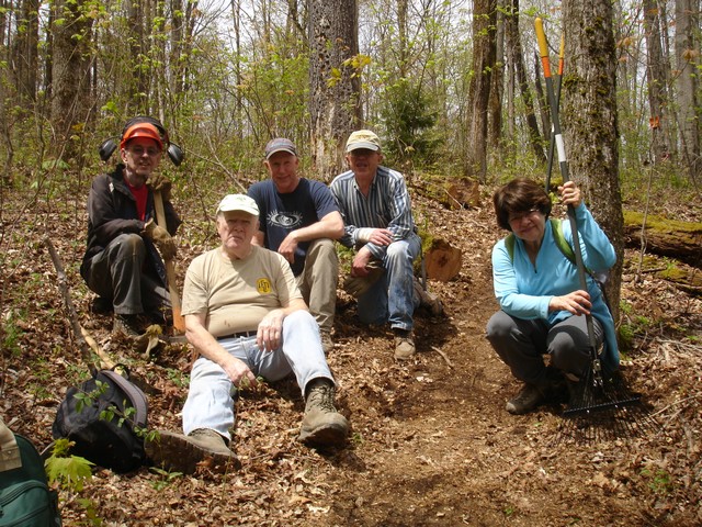
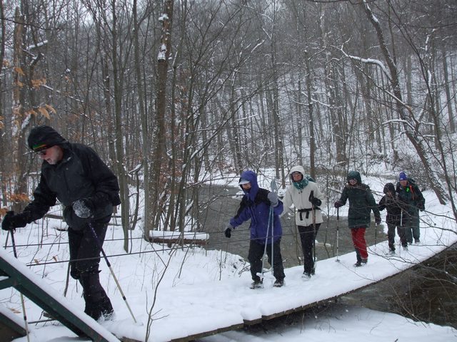
Hiking Schedule Click Here To learn more about the Foothills Trail Club, click on the links below: A Foothills Photo Album Constitution and Code of Conduct Hiking Tips Types of Hikes Membership Membership Renewal Alley Cat Scrapbook Conservation Trail Hiking Guidelines I would like to make a special contribution to Foothills! Click here. '
Send your questions and comments to webmaster@foothillstrailcub.org